Mason Tract Pathway
Grayling, MI
989-348-6371
Trail Length: 8.7 miles point to point
Groomed Classic? Yes
Groomed Skating? No
Lighted? No
Snowmaking? No
Trail fee? Yes: Park pass
Ski rentals? Yes
Trail Map: Yes
Getting there: Parking is 15 miles southeast of Grayling via M-72 and Canoe Harbor Road.
Parking on the other end of the trail is 4 miles north of Roscommon on Chase Bridge Road at Mason Track Trail Road.
The Mason Tract originated from a gift from the George Mason family in 1954. The 1500-acre gift was was contingent that it would remain a permanent game preserve with no camping for 25 years. Over time, additional acreage has been acquired from the U.S. Forest Service and private individuals. The DNR has continued the tradition of the no-camping restriction in the Mason Tract; however, camping is available at the Canoe Harbor State Forest Campground, located at the north end on the AuSable River.
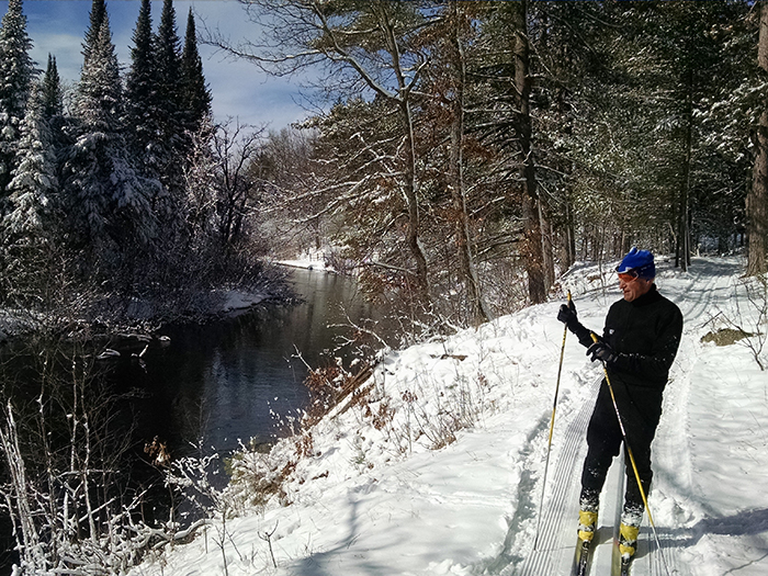
The Mason Tract Pathway provides access for quality fishing, hunting, cross-country skiing and hiking. Mountain biking and other wheeled recreation is prohibited. The Mason Tract is also home to the pristine Mason Chapel which can be accessed via the pathway. The Mason Family constructed the chapel in 1960 to provide fishermen with a place of reverence and, today, it is a popular tourist attraction.
The pathway is maintained with the help of the Friends of the Mason Tract (Facebook page: https://www.facebook.com/Friends-of-The-Mason-Tract-212118942291886/.

